Geological Sites of Baishuiyang
编辑: 小编 时间:2023-07-03 18:17:42 浏览次数:
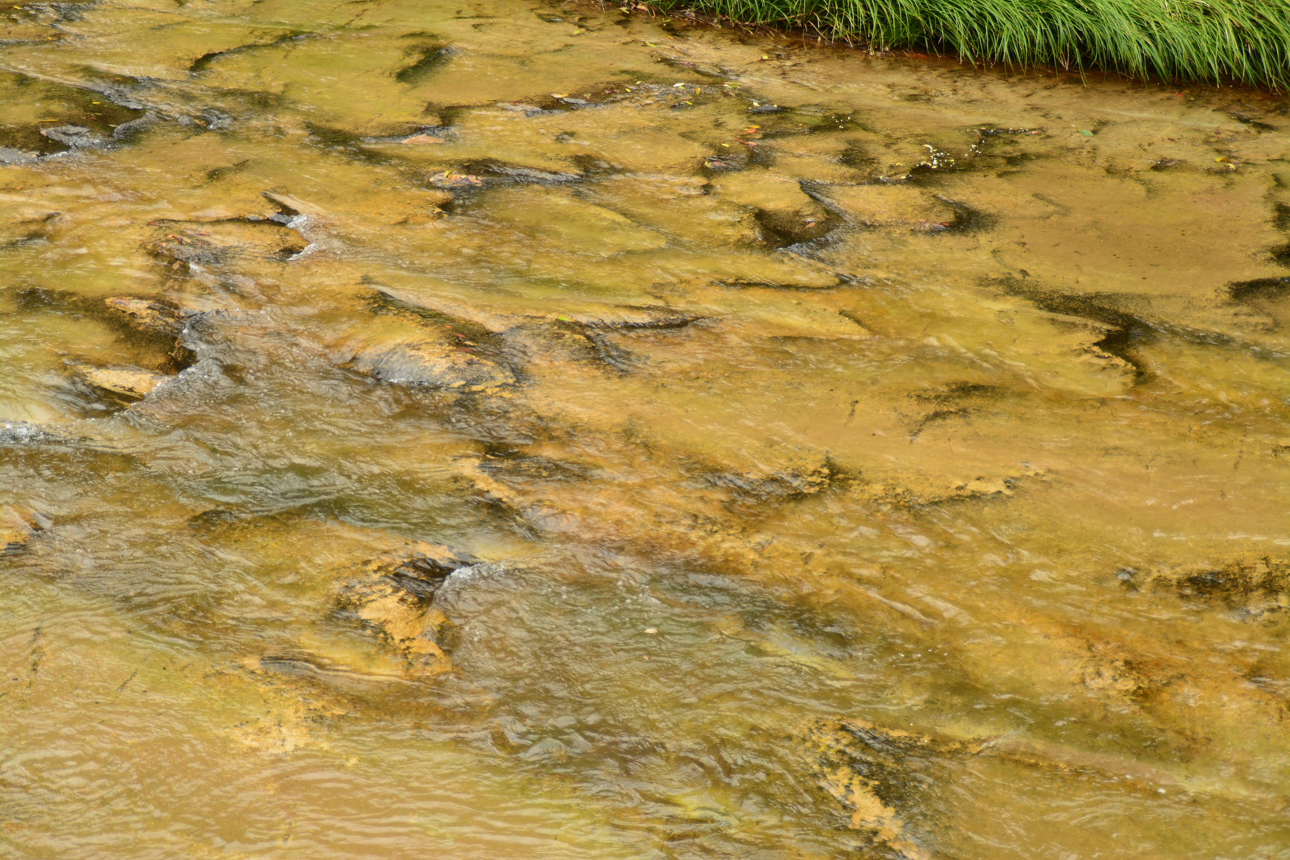
Baishuiyang’s defining feature is the globally unique “Shallow Water Square”—the Flat Bedrock Riverbed of Baishuiyang—which has earned it the reputation of “extraordinary scenery under heaven, a mystery of the universe” and “a natural water paradise”. The Flat Bedrock Riverbed of Baishuiyang is formed by millions of years of intermittent crustal uplift and persistent water erosion. It stands as a rare shallow water marvel worldwide. Volcanic rock landforms such as “Gauze-hat-like Rock” and “Birds’ Nest Rock” are distributed around the riverbed.
1.The Flat Bedrock Riverbed of Baishuiyang
Approximately 100 million years ago, magma cooled and solidified to form hard and relatively flat quartz syenite porphyry. Subsequently, as the Earth’s crust slowly uplifted, the rock was exposed at the surface and developed intersecting vertical and horizontal fractures. Two streams converged here, and the flowing water, carrying sand and gravel, continuously scoured and abraded the river bed. As the crust in this area remained relatively stable, the river’s erosion was dominated by lateral cutting, gradually widening the channel and polishing the river bed into a broad, even surface. After tens of millions of years of weathering and fluvial sculpting, a natural wonder was formed — Shallow Water Square with gently sloping surfaces, shallow water, and a wide surface.

2.Gauze-hat-like Rock (Pictographic Rock)
How was this Gauze-hat-like Rock formed? The rock originally developed many NE-strike joints, fractures and faults. In the places where fractures and faults were densely distributed, the rocks were broken up and washed away by water current. For rocks that didn't develop joints and fractures, they were kept. With the uplift of the earth crust, down-cutting erosion of water and lowering of the riverbed, the remained rocks formed a rock wall in the middle of the riverbed, extending in the direction parallel to the water flow. The further down-cutting and lateral erosion of the water narrowed and modified the rock wall into an isolated rock pillar, which became a firm rock in the mid-river.
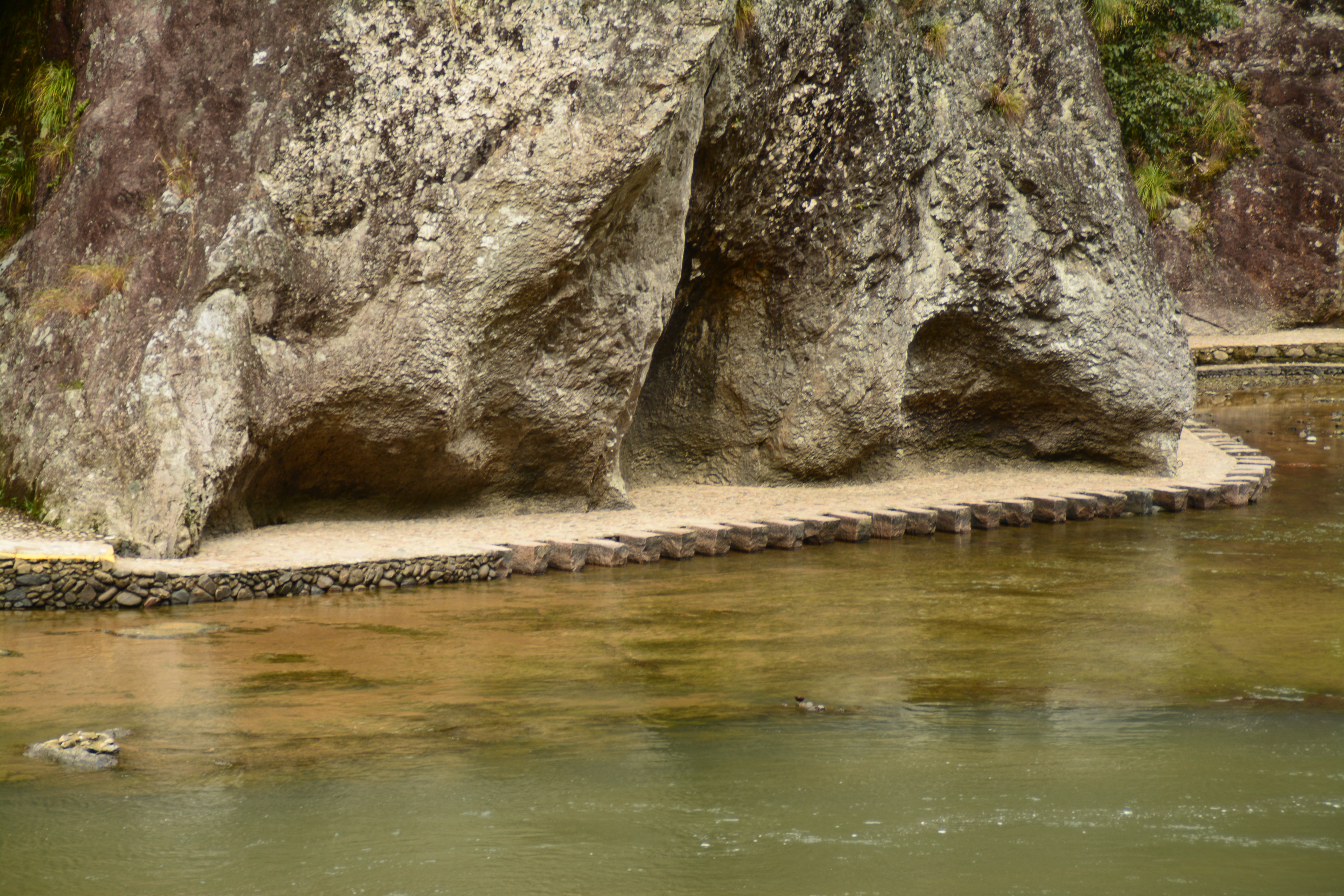
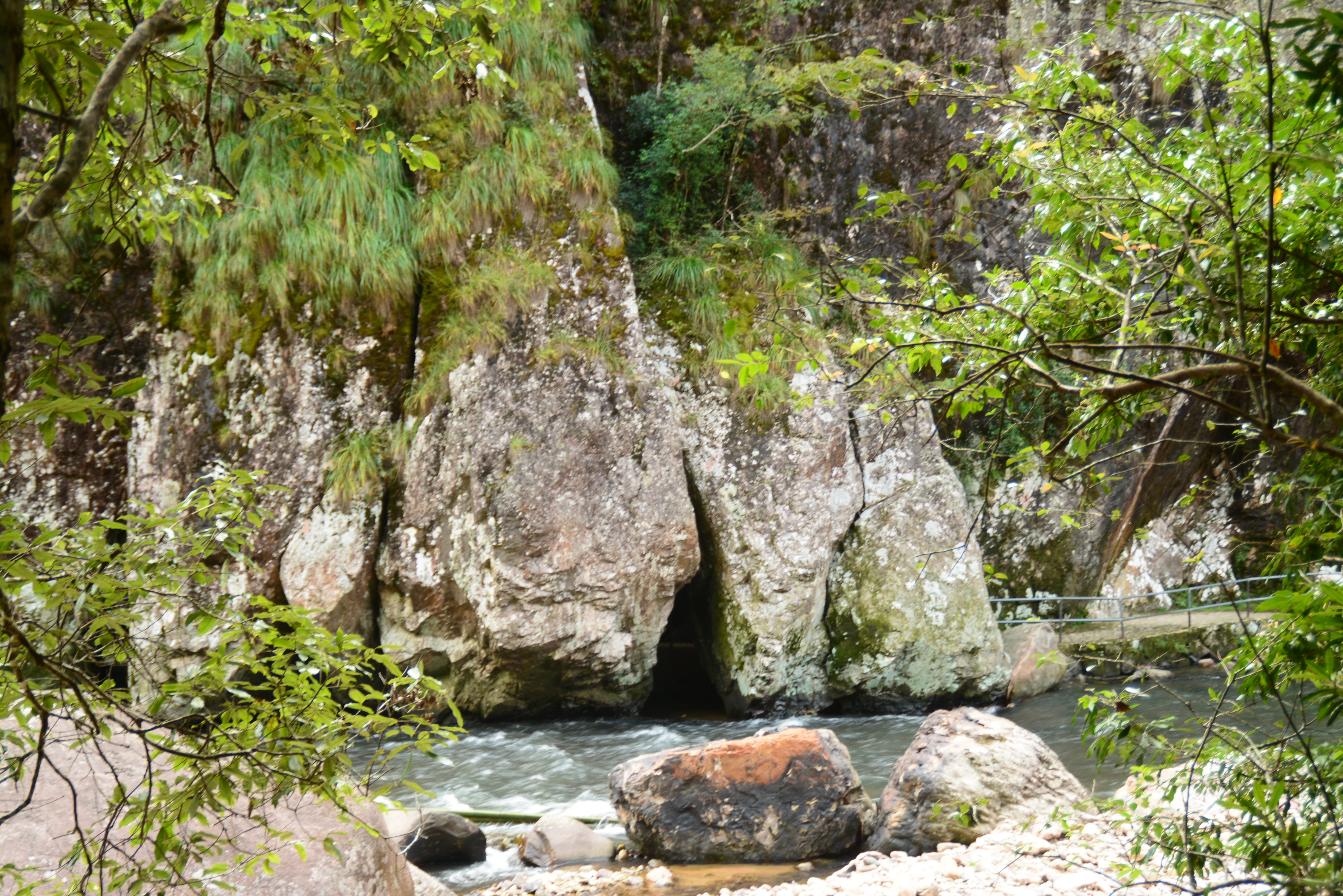
3.Birds' Nest Rock
Why does the Birds' Nest Rock have five arch caves at the cliff base and show a wavy appearance in its cliff wall? The lateral erosion of water formed the wavy appearance and horizontal caves. During the stage when the earth’s crust was in a stable state, the lateral erosion of water on the cliff wall enhanced to dent it inward. While during the uplift stage of the earth’s crust, the down-cutting water produced lateral erosion on the cliff wall. The cumulative effect of lateral erosion of water on the cliff wall in different periods finally led to the formation of the wavy “S”-shaped cliff wall. The five semi-circle concave caves arranged side by side at the base of the cliff are the horizontal caves formed by the long-term lateral erosion of water when the earth’s crust was relatively stable, which resembled the hemline of a girl’s skirt, hence the name “Pleated Rock”.
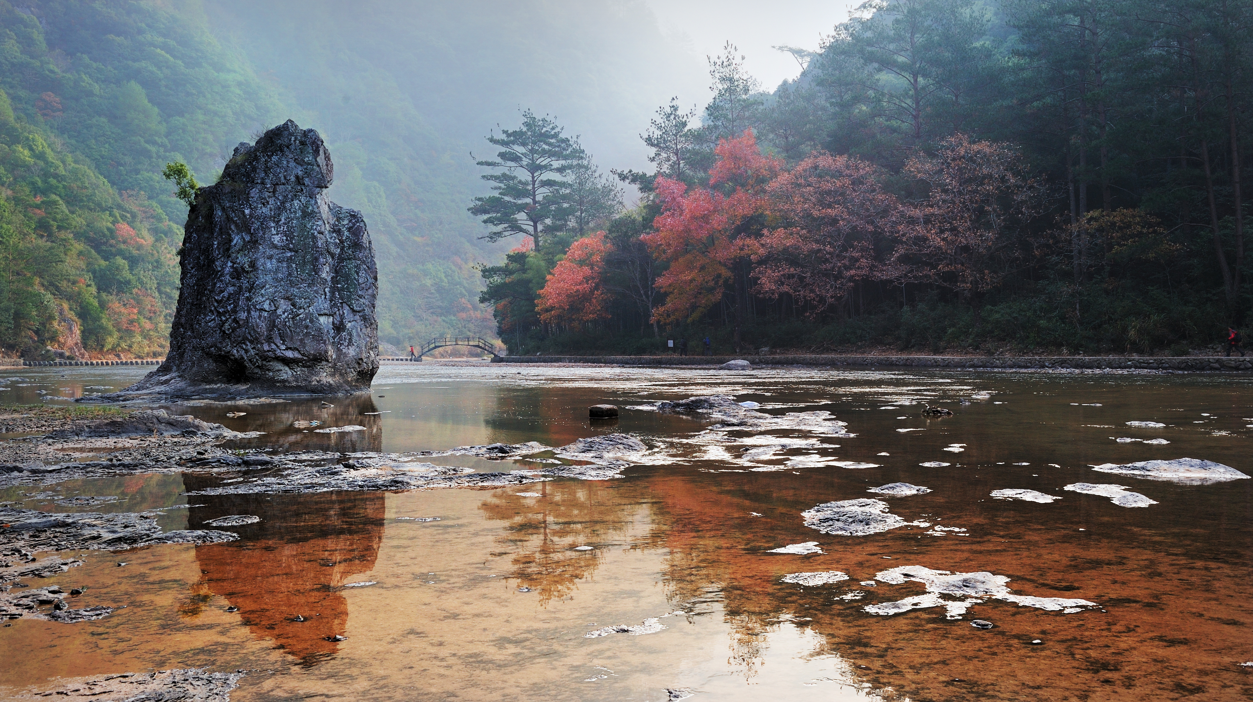
4.Displaced Rock Block
This huge rock is about 8 meters high and 4 meters wide, leaning against the cliff. It is a displaced rock block formed by the separation of main bodies without toppling, in which local rock blocks on the cliff fall along fracture surfaces, such as joints and fissures, under gravity.
5.Self-broken Syenite Porphyry
Self-broken syenite porphyry appears light gray to flesh-red in color and exhibits a porphyritic texture, containing both large orthoclase phenocrysts and a fine, compact groundmass. As magma rose rapidly, expanding gases and contraction during cooling caused the orthoclase phenocrysts to fracture in place, while the enclosing rock broke apart into angular breccia fragments. The phenocrysts and brecciated clasts subsequently solidified together with residual magma of similar composition, forming the present rock.
6.Ripple Marks Formed by Water Erosion
How were these ripple marks on the riverbed formed? The attrition between shallow water flow and the riverbed can form crescent flow-waves that are vertical to the flow direction. The flow-wave has a characteristic that the wavetrough is more powerful than the wave-peak in making down-cutting erosion. The erosion on the riverbed is mainly performed by flow waves other than carried sand and mud because the shallow water can only carry limited solid materials. After such long-term erosion, the base rocks of the riverbed became concaved along the troughs of the wave. This gradually formed many water erosion-induced ripple marks on the riverbed, having a shape similar with the flow-wavy. In addition, the development of the crossed NE- and NW-strike faults in the riverbed also helps the formation of the ripple marks. The ripple marks are linked end-by-end, just like many regularly arranged huge fish scales in the clear water. It looks like a huge auspicious dragon swimming with the wave and welcoming the guests.